

Landscape Photogrammetry, Multispectral Analysis, and Thermography
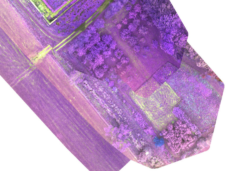
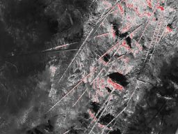
At Akivita Ltd we leverage state-of-the-art drone technology and software systems to deliver comprehensive landscape photogrammetry and thermography services. Our advanced aerial imaging capabilities allow us to offer detailed analyses for a variety of environmental assessments.
Example Applications Include:
River Hydrology: Utilising drones to map and analyse river landscapes, aiding in flood management and ecosystem health assessments.
Deer Counts: Conducting aerial surveys to estimate deer populations, essential for wildlife management and ecological balance.
Nesting Birds: Monitoring bird nesting sites, providing valuable data for avian conservation and habitat protection.
Crop Health: Produce crop health maps and analysis using multispectral analysis.
Our drone-based photogrammetry and thermography services are tailored to meet the specific needs of our clients, ensuring precise data collection and analysis for informed environmental decision-making.
Training and Community Development
At Akivita. we are dedicated to fostering community growth and involvement through our comprehensive development and training programmes.
Our initiatives include stakeholder workshops, citizen science projects, and community engagement activities designed to empower local communities and promote sustainable practices.
We aim to enhance community knowledge and participation, enabling informed decision-making and collaborative problem-solving. Join us to build stronger, more resilient communities with Akivita’s expert-led development and training opportunities.


3D Modelling of Sites, GIS Mapping and Analysis.
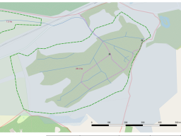
At Akivita we offer advanced geographic information systems (GIS) mapping and analysis alongside 3D modelling services to provide comprehensive site assessments and visualisations. Our expertise in GIS and 3D modelling enables precise data interpretation and detailed environmental insights.
Example Applications Include:
Site Planning and Development: Utilising GIS technology to map and analyse site features, aiding in efficient planning and sustainable development projects.
Environmental Impact Assessments: Conducting thorough environmental impact analyses using GIS data, to support regulatory compliance and conservation efforts.
3D Terrain Modelling: Creating accurate 3D models of terrain and landscapes to enable visualisation of site characteristics and support landscape design and habitat restoration projects.
Our GIS mapping and analysis, along with 3D modelling services, are designed to meet the unique needs of our clients, ensuring precise data collection and interpretation for informed decision making.
We need your consent to load the translations
We use a third-party service to translate the website content that may collect data about your activity. Please review the details in the privacy policy and accept the service to view the translations.